Barro Colorado The Island of Scientists
Text and Photos: Javier A. Pinzón
Barro Colorado Island, an enclave of the Smithsonian Tropical Research Institute, is perhaps one of the most studied places on Earth; this territory has been written about in more than one scientific journal per two acres of forest. Since its formation at the beginning of the last century, it has become the prototype for how to study the diversity of plants and animals in the tropics.
This island, covered by a dense tropical rainforest, emerged during the construction of the Panama Canal a little over a hundred years ago. To achieve the feat of this interoceanic connection, the waters of the Chagres River were diverted and dammed, creating Gatún Lake, the largest artificial lake in the world at that time. When the forest was flooded, the summit of a hill emerged; it was called Barro Colorado Island, better known as BCI.

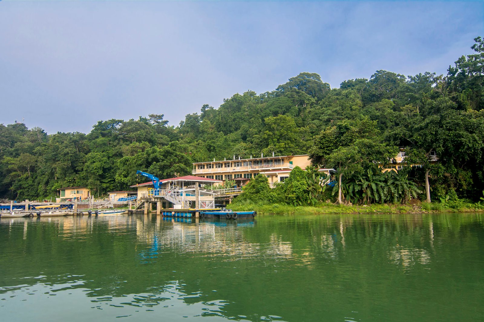
According to Megan Raby, a historian at the University of Texas at Austin, the island became famous in the world of natural science for being not only in the tropical rainforest, but also in an area that was relatively accessible, so scientists could go deep into the jungle but also have certain amenities. The island’s pioneers, James Zetek and Thomas Barbour, made this possible by creating a true natural laboratory just steps away from buildings that included a kitchen, potable water, bathrooms, and a shower, allowing them to focus more on their research and less on the logistics of living in the rainforest. They fulfilled the dream of taking the lab to the field. Other factors also helped turn the island into a research center. It is located in the middle of the Panama Canal watershed so access is restricted, guaranteeing its protection. This means that researchers don’t have to carry all their equipment in and out of the field. Instead, they can leave supplies in place all year long —from camera traps to marks in trees and nests— without fear of losing them.
The pioneers also designed a network of well-marked paths, greatly improving mobility under the canopy and giving them the opportunity to observe the local wildlife unnoticed. But mostly, these paths allowed them to take comprehensive notes. Before a visiting researcher’s first day on the island, he or she can already know what has been observed on every inch of every path for every day for the past season or year. All of these elements combine to create the perfect recipe for an ideal field lab, establishing the academic atmosphere that is still present there.
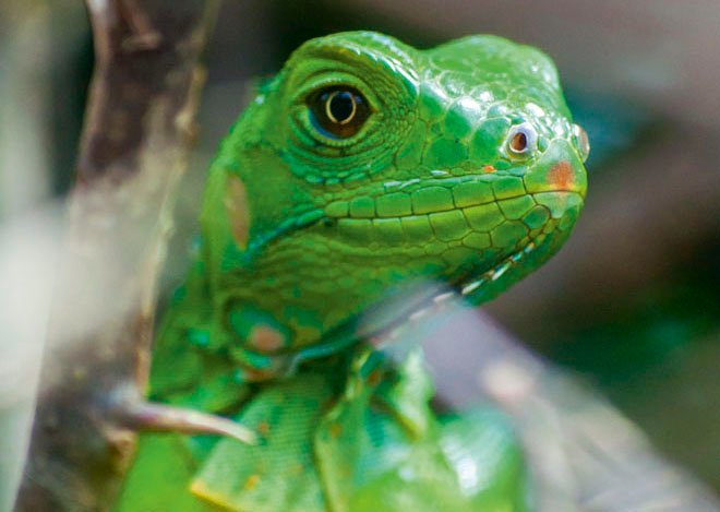
This is why scientist from all over come to take advantage of the universe that Barbour and Zetek created. The island receives about five hundred researchers each year from some thirty-seven countries, many of them students. As you might expect, this is not just any forest. Here most of the trees have an ID number and the ant nests are counted and mapped, as are the bat caves and the ñeque (agouti) feeders. Small flags and badges hang all over branches and lianas. The scientists know with some accuracy when the trees will bloom and when the fruits that feed the animal populations will ripen. And yet, after a little more than a century of research, questions still remain about these nearly 14,000 acres of forest.

According to Egbert Leigh, resident scientist on the island, during the first half of the last century research focused on describing and quantifying the island’s inhabitants, including plants and animals. At that time, the first lists of birds, bees, and flora were published. The center carefully preserves Barbour and Zetek’s old catalogues of notes, their herbarium, and their collection of seeds and insects. However, after the World Wars, the original focus began to change and, although very diverse things are being studied, most of the research now revolves around animal behavior and ecology.
The renowned ecologists Stephen Hubbell and Robin Foster founded a 124-acre plot in the middle of the island in order to conduct a comprehensive census and mapping of each tree that measures more than a centimeter in diameter. The information they gathered makes up part of an extensive public database, providing information on more than 350,000 trees dating back to the first census of 1982. The collected data has served to support multiple ecological theories. Hubbell was able to respond, for example, to one of the most important questions in tropical ecology: How can so many tree species coexist in such a small space? It turns out that in this forest each tree species has its own plague, which is responsible for preventing the species from becoming dominant. So “sacrificing the life” of relatively few individuals ensures that this high diversity is maintained over time.
The data provided by this initiative, which describes the dynamics of the forest in great detail, encouraged the development of thirty research institutions worldwide. Today there are forty similar plots in twenty-two tropical countries and the subtropical forests of China, generating valuable information for understanding the tropical forest and its biodiversity.

In addition to ecological data, physical and environmental data are also being monitored on BCI. Rainfall levels have been recorded since 1929; solar radiation, ambient temperature, relative humidity, and wind speed and direction have been measured since 1972; and evaporation has been tracked since 1993.
The research community that Zetek and Barbour dreamed up is revitalized every day by the relationships between visiting scientists and their students. Every Thursday one of the scientists gives an open talk, offering an opportunity for people interested in science and ecology to learn about what happens daily on Barro Colorado Island. On Saturdays, the island opens its doors to small school groups that come to see the forest and observe the scientific method firsthand. Maybe in a few years some of these young people will return to the island to conduct their own research.