

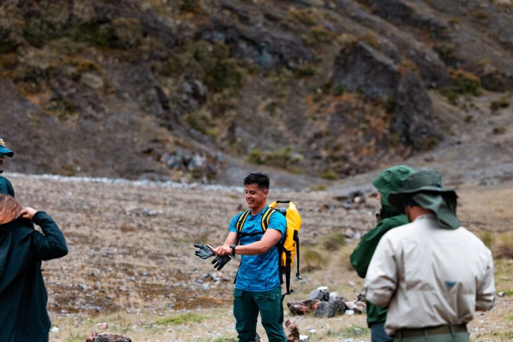
Barú Volcano: Understanding Panama from Its Summit


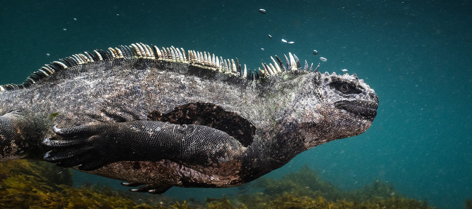
The Eastern Tropical Pacific Marine Corridor is a transnational initiative aimed at guaranteeing the

Experiencing a humpback whale breaching from the sea or a sea turtle covering its nest under the moo
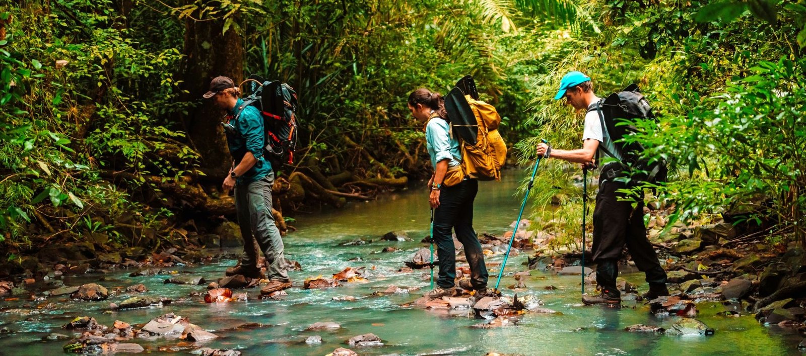
This article takes us into the forests while also explaining how the Isthmus has been destined to co

Panama City is in the enviable position of being surrounded by lush, unspoiled greenery. The nationa

© 2022 Panorama de las Américas. All rights reserved | Developed by: Bluetide
Leave a Reply